The San Juan River Arm
is more than 50 miles long from its mouth to its end. I planned
only to explore about 10 miles up river and find a good anchoring spot to spend the night. I stopped 11 miles
up river at Cha Canyon. I had planned to hike around the area but the wet mucky
clay and cold weather
discouraged this plan.
 |
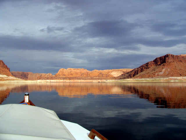
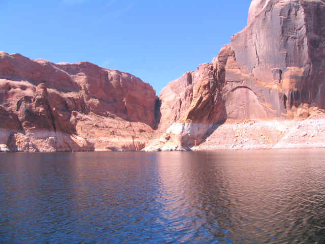
Exiting Forbidding Canyon |
 |
Near
Cha Canyon I found a wide sandy bottom to anchor for the night |
Fortunately, the wind and rain stopped. I found an anchoring
spot near Cha Canyon and dropped the bow and stern anchor in a
sandy bottom. I spent the night in this calm deep walled
canyon. No rain or wind found me this night and I slept late into
the morning before I pulled the anchors heading for Bullfrog Bay,
61 miles from where I spent the night. I entered a walled channel
area, it lasted for about 3 miles. The sides are sheer walls
raising several hundred feet with no place to climb out of the
water if Sacagawea decided to sink. I wondered how long I would
last in 49 degree water with no place to climb out. Maybe I will
bring my West Marine inflatable next time. Not that I am worried,
it would just make it easier to explore some areas.
 |
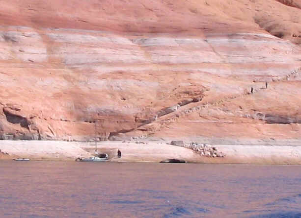
Sailboat and kayaks
Miner's steps
|
 |
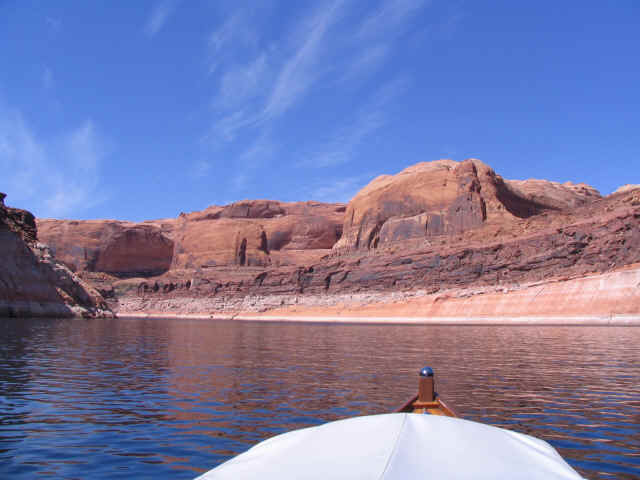
Walled channel |
The weather was beautiful as I passed several
kayaks and a 20-foot sailboat. I wondered how they had coped with
the weather the last few days.
 |
|
 |
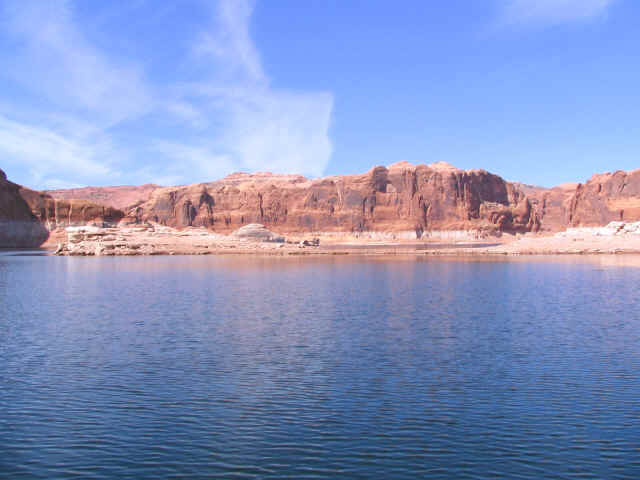
Moki Canyon |
I stayed in Moki Canyon for the night and
prepared for another storm from the west coming in during the
night. This time I pulled a line across the small canyon and put a Spanish
bowline in the middle and used large rocks on shore to secure
each end. I ran the bow two feet up on soft clay, running the bow
anchor up and around a large rock. I pulled the stern lines
through the Spanish bowline and made them fast to the cleats. That
night the wind howled around the cockpit enclosure. Sacagawea was
pushed violently to the side many times before the storm was over.
I was not able to sleep much so I read most of the night. The
next morning I jumped on shore to check the lines. I noticed the
flat rock securing the bowline, which probably weighted 500
pounds, had moved. Sacagawea had pulled that rock 7 feet in the
wet clay during the night. I killed time reading most of the day
until the wind eased off than headed to Bullfrog marina to top off
my fuel. One of the marinas personal named Paul came over and asks
how I was dealing with the weather. I said OK but I was not
sleeping well. He offered one of the many empty slips for
the night if I wished and I gladly accepted. That night I feasted
at the Anasazi Restaurant and had a few drinks at the lounge,
which made the weather great. It took me some time to find my
boat; I say it was because I did not have a flashlight.
The sun came out and I started my trip back up the lake on a
blue-sky day. I made the trip to Dangling Rope in about 4
hours, topping off my fuel and making lunch before continuing.
Hole in the rock was a road one mile long the Mormons
blasted out of the cliff in 1879 to bring wagons, cattle, sheep
and people 1100 feet down to the Colorado river to cross the river
by boat.
|